December 2015 ~~~~ Editor:  Cliff Hanger ~~~~
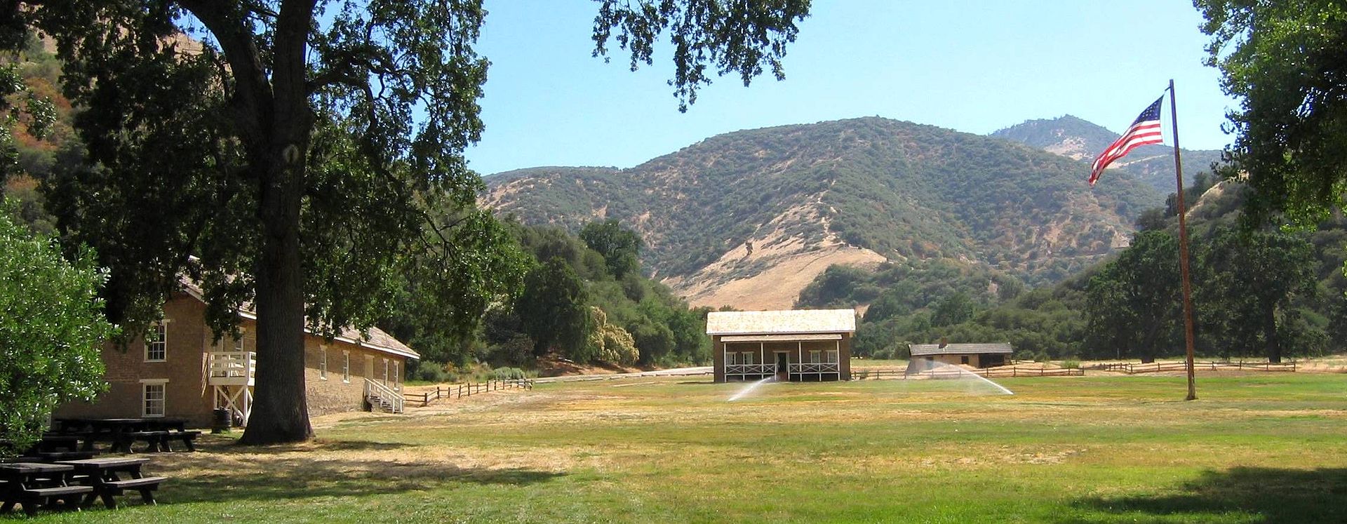
Fort Wingate - Wikipedia
 
Fort Wingate is near Gallup, New Mexico. There were two locations in New Mexico that had this name. The first one was located near San Rafael. The new location called Ft. Wingate was established on the southern edge of the Navajo territory in 1868. The initial purpose of the fort was to control the large Navajo tribe to its north. It was involved with the Navajo's Long Walk. From 1870 onward the garrison was concerned with Apaches to the south and hundreds of Navajo Scouts were enlisted at the fort through 1890.

History
 

    1860 A temporary post, Fort Fauntleroy, was established at Bear Springs 
    (Ojo del Oso), a place visited by Navajos. Later it was renamed Fort Lyon, when
    General Thomas T. Fauntleroy, for whom the fort was originally named, joined the 
    Confederates.

    1862 The post was renamed Fort Wingate after the abandonment of an army post of
    that name located sixty miles away in San Rafael, New Mexico, also known as 
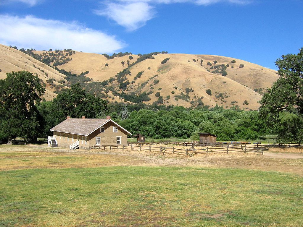
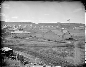
 

Fort Wingate in the 1870s
   "Bikyaya" or "El Gallo," and which was originally located at Seboyeta. It was 
     named for Major Benjamin Wingate, 5th U.S. Infantry, who received wounds to his
     legs during the Battle of Valverde.

     September General Edward Canby ordered a new fort to be placed at the headwaters of the Gallo River. It was designed to house four 
     companies of troops.

    1864 Colonel Kit Carson was ordered by Canby to bring four companies of the First New Mexico Volunteers to the fort to control the Navajo.

     1865 there were 3,089 troops in the New Mexico Military District, 135 at Fort Wingate. It was the staging point for Navajos being sent on the 
     Long Walk

    1873 - 1886 Participated in Apache Wars with troops and recruited Navajo Scouts.

    1878 there were 137 troops at Fort Wingate.

   Was asked to settle disagreements between Navajo and citizens in New Mexico 
   1868-1895.

    1891 Assisted Arizona units with angry Hopis

    1907 Two troops of the 5th Cavalry went from Fort Wingate to the Four Corners area after some armed Navajo. This was the last armed 
    expedition the US Government ever made against the Navajo. One Navajo was killed and the rest escaped

    1911 A company of cavalry went from Ft. Wingate to Chaco Canyon and camped there several days to quell a possible uprising by Navajo

    1914 Over 2,000 Mexican soldiers and their families were given refuge at the fort from the Mexican Civil War

    1918 Fort Wingate focus turned from Navajo to World War I .

    1940 Used to store munitions from World War II onward.

    1950 Bureau of Indian Affairs given part of the land for Indian boarding school

    Redstone and the Pershing 1 missiles were tested among other things at Wingate

    1993 the Base Realignment and Closure Act (BRAC) closes the post. Environmental cleanup and land transfer to the surrounding community 
     continues to the present day.

Famous military figures

Several famous military commanders cycled through Fort Wingate's history.

    Lt. Charles B. Gatewood (later convinced Gerinimo to surrender) led many patrols out of Wingate

    1881-85 General Douglas MacArthur lived at the fort as an infant, with his father who was a Captain in command of 
    Company K, 13th US Infantry.

    1889-90 General John J. (Black Jack) Pershing served as Lieutenant at the fort.

The above extracted from (AMCIS-102 dated 1 July 1970 Ft Wingate)
 

Fort Tejon - Wikipedia
 
Fort Tejon in California is a former United States Army outpost which was intermittently active from June 24, 1854, until September 11, 1864. It is located in the Grapevine Canyon (La Cañada de las Uvas) between the San Emigdio Mountains and Tehachapi Mountains. It is in the area of Tejon Pass along Interstate 5, the main route through the mountain ranges separating the Central Valley from the Los Angeles Basin and Southern California. The fort's location protected the San Joaquin Valley from the south and west.

History

At the urging of Edward Fitzgerald Beale, Superintendent of Indian Affairs in California, the U.S. Army established Fort Tejon in 1854. Fort Tejon was the headquarters of the First U.S. Dragoons until those Regular Army troops were transferred to the East in July 1861 soon after the outbreak of the American Civil War. The fort was re-occupied by California volunteer troops in 1863. Those units included Companies D, E and G of the 2nd California Volunteer Cavalry from July 6 to August 17, 1863; and


Fort Tejon Barracks


Parade ground at Fort Tejon, California, June 2006.
The restored barracks are at left and the commanding
officer's quarters are at the center, to the right of
and behind which are the stabilized but unrestored
officers' quarters. Split rail fences outline the
foundations of buildings that have not been
reconstructed.
Company B of the 2nd California Volunteer Infantry, which remained there until Fort Tejon was abandoned for good on September 11, 1864.

The fort lay along the Stockton - Los Angeles Road. From 1858, it was a stagecoach station on the Butterfield Overland Mail, which followed the same route as far as Visalia. From 1858, Fort Tejon was the western terminus of the experimental U.S. Camel Corps, which used imported camels in an effort to carry supplies across arid regions in the Southwest. The soldiers found the camels hardy, but temperamental, and they spooked the horses used by the cavalry.

The great earthquake of 1857, which became known as the Fort Tejon earthquake, was centered nearly 100 miles away. The earthquake became associated with the fort by name because the area near the epicenter was sparsely populated. The most reliable report of the event was issued from the fort, nearly 93 miles (149.7 km) distant.
 

Fort Tejon State Historic Park

The state historic park is listed on the National Register of Historic Places. Its original historic buildings have been documented by the Historic American Buildings Survey. Several buildings have been restored, and two are partially open to visitors. The restored barracks contain display cases of uniforms and a recreated troopers' quarters. The commanding officer's quarters have several restored and furnished rooms. Officers' quarters nearby are only stabilized in a state of arrested decay, with walls buttressed by masonry and lumber and tied together with reinforcing rods.

A quartermaster building has recently been reconstructed houses materials used in Dragoon life and Civil War reenactments. The sites of former buildings, planned for reconstruction, are marked by split rail fences along the outlines of their foundations. A park office, containing exhibits of dragoon life and restrooms, is at the east end of the parade ground near the parking lot by Interstate 5.

The park grounds include the grave site of Peter Lebeck, which is indicated with a historical marker. The nearby town of Lebec is named after him.

Fort Tejon is the site of frequent Civil War reenactments presented by the Fort Tejon Historical Association.

1857 Fort Tejon earthquake

The Fort Tejon earthquake occurred at about 8:20 AM (Pacific time) on January 9, 1857. It ruptured the San Andreas Fault for a length of about 350 kilometers (220 mi), between Parkfield and San Bernardino. Displacement along the fault was as much as 9 meters (30 feet) in the Carrizo Plain but less along the Palmdale section of the fault, closest to Los Angeles. The amount of fault slip gives this earthquake a moment magnitude of 7.9, comparable to that of the 1906 San Francisco earthquake. Based on the (uncertain) distribution of foreshocks for this earthquake, it is assumed that the beginning of the fault rupture (the epicenter) was in the area between Parkfield and Cholame, about 60 miles northwest. Nevertheless, it is usually called the "Fort Tejon" earthquake because this was the location of the greatest damage, most of the area being unpopulated at the time.
 

 .
All articles submitted to the "Brimstone Gazette" are the property of the author, used with their expressed permission. 
The Brimstone Pistoleros are not responsible for any accidents which may occur from use of  loading data, firearms information, or recommendations published on the Brimstone Pistoleros web site.